Show the map
OFFICIAL ROUTE
Circuit de la forge - St Launeuc


4.1 km
40 m
40 m
 Saint-Launeuc (22)
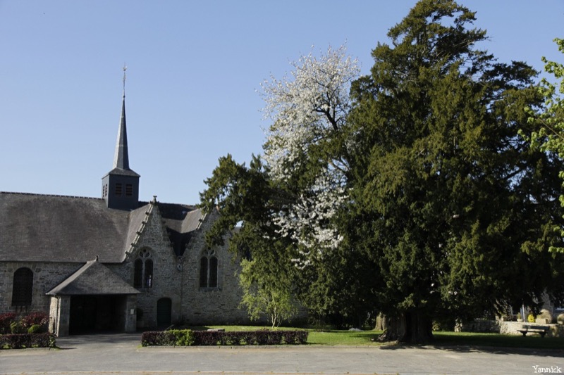
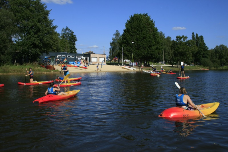
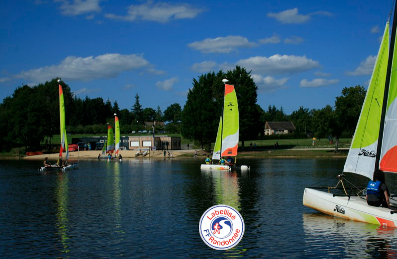
This circuit is a walk to discover the flowery village of Saint-Launeuc, its 15th century church and the Hardouinais pond. This artificial body of water was created for the needs of the exploitation of the Hardouinais steel furnace in the 17th century. Today, it's a popular nautical recreation area
Points of Interest table
| Accum. | Intermediary | |||||||
|---|---|---|---|---|---|---|---|---|
| POI | Description | Alt. | Dist. | D+ | D- | Dist. | D+ | D- |
Trace n°114349
Ascent threshold : 3 m Distance threshold : 30 m Smoothing : Yes Origin of altitudes : MNT IGN
Ascent threshold : 3 m Distance threshold : 30 m Smoothing : Yes Origin of altitudes : MNT IGN
Loop
Dominant terrain : Footpath
Max alti. : 153 m
Avg alti. : 142 m
Min alti. : 133 m
Longest ascent : 30 m
Longest descent : 20 m
Route completed by the author : Yes
Dominant terrain : Footpath
Max alti. : 153 m
Avg alti. : 142 m
Min alti. : 133 m
Longest ascent : 30 m
Longest descent : 20 m
Route completed by the author : Yes
Elevation profile
More tools
Create a new roadbook page
Map and track on your website
Warning ! When you insert a Trace de Trail map on your website, you agree not to hide any element of the module (links to Trail Trail or Trail Connect banner)
Add a realisation
Validate
Add a realisation to share your chrono and describe the conditions that you encountered during you trail running !
Show the infos
Add a track


